←Countries
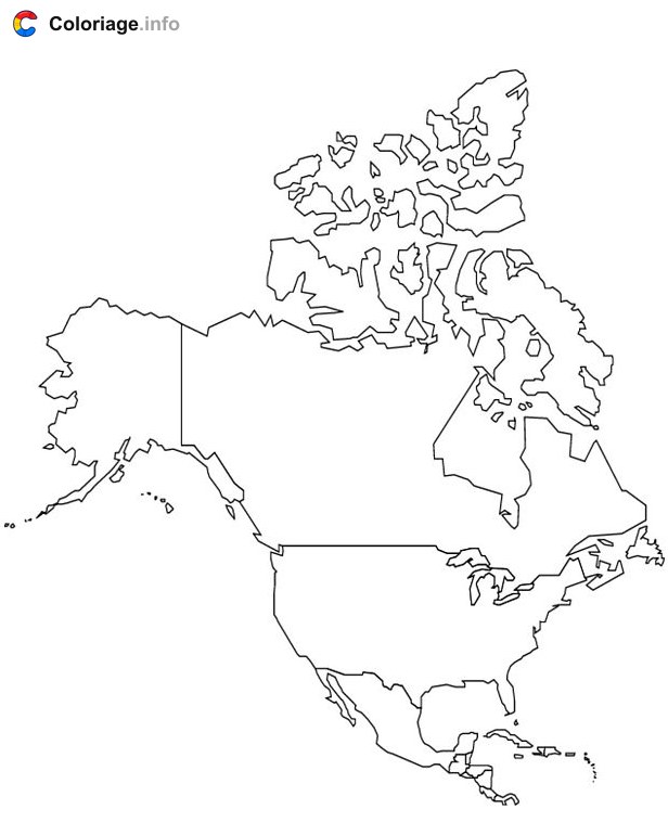
North American Countries coloring page to print
This engaging coloring page features a fun map of North America with labeled outlines of Canada, the United States, and Mexico. Each country is presented in a clear, bold format that's perfect for teaching young learners about geography in a creative way. Kids can color each nation in different shades, learning where these important countries are located while developing their fine motor skills. The simple, outlined design makes it ideal for children ages 3-12 to practice staying within lines. This free printable PDF is a wonderful resource for homeschooling, classroom activities, or rainy-day fun at home. It's both educational and entertaining, helping kids explore the world one color at a time.
More Countries coloring pages