
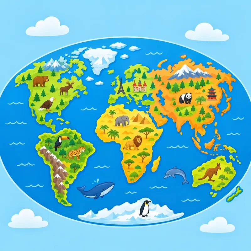
World Map Coloring Pages
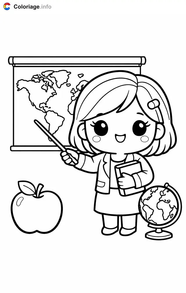
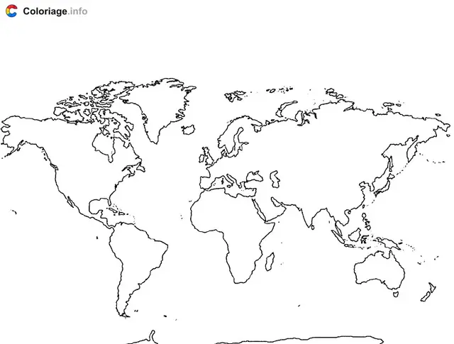
World map coloring pages turn geography into a hands-on adventure your child will love. This collection is packed with free, printable maps showing continents, oceans, countries and famous landmarks. Whether your little one is just learning where things are or already naming capitals, these pages make learning stick. Every design is ready to download and print at home in seconds, so you can start coloring right away. Kids get to fill the globe with their own colors while soaking up facts about our amazing planet. To keep the fun going, check out our Countries, Flag or countries and monuments coloring pages too.
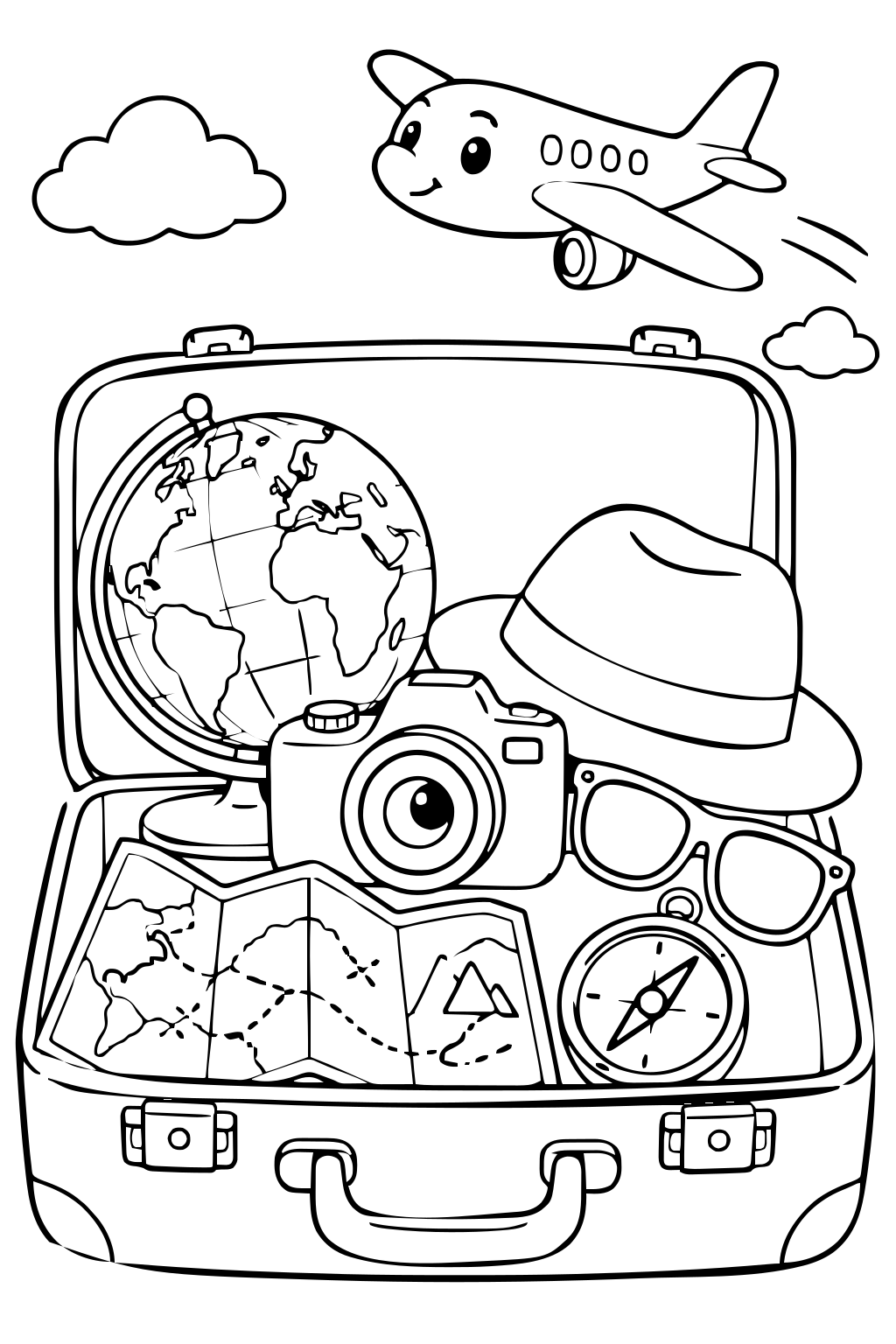
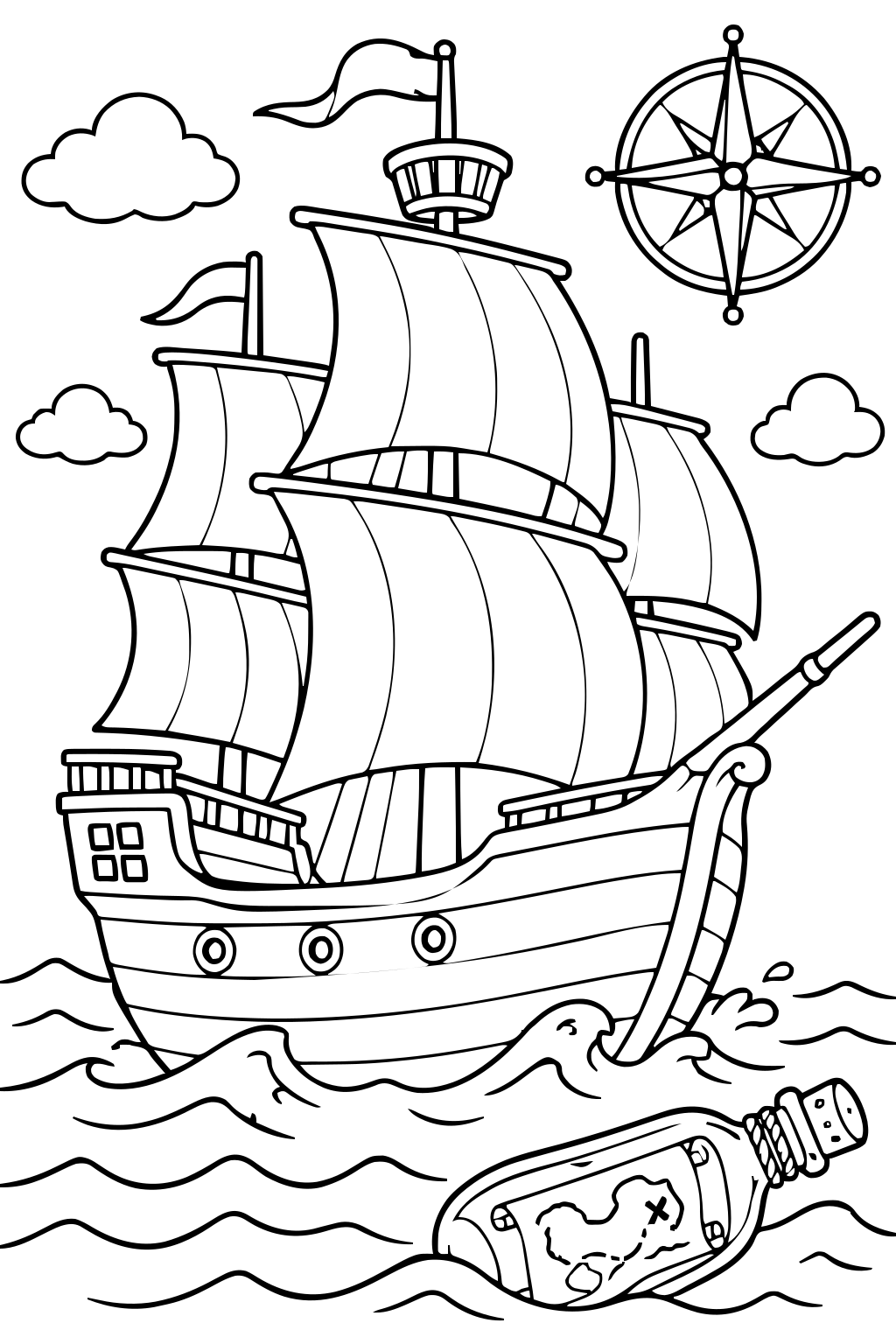
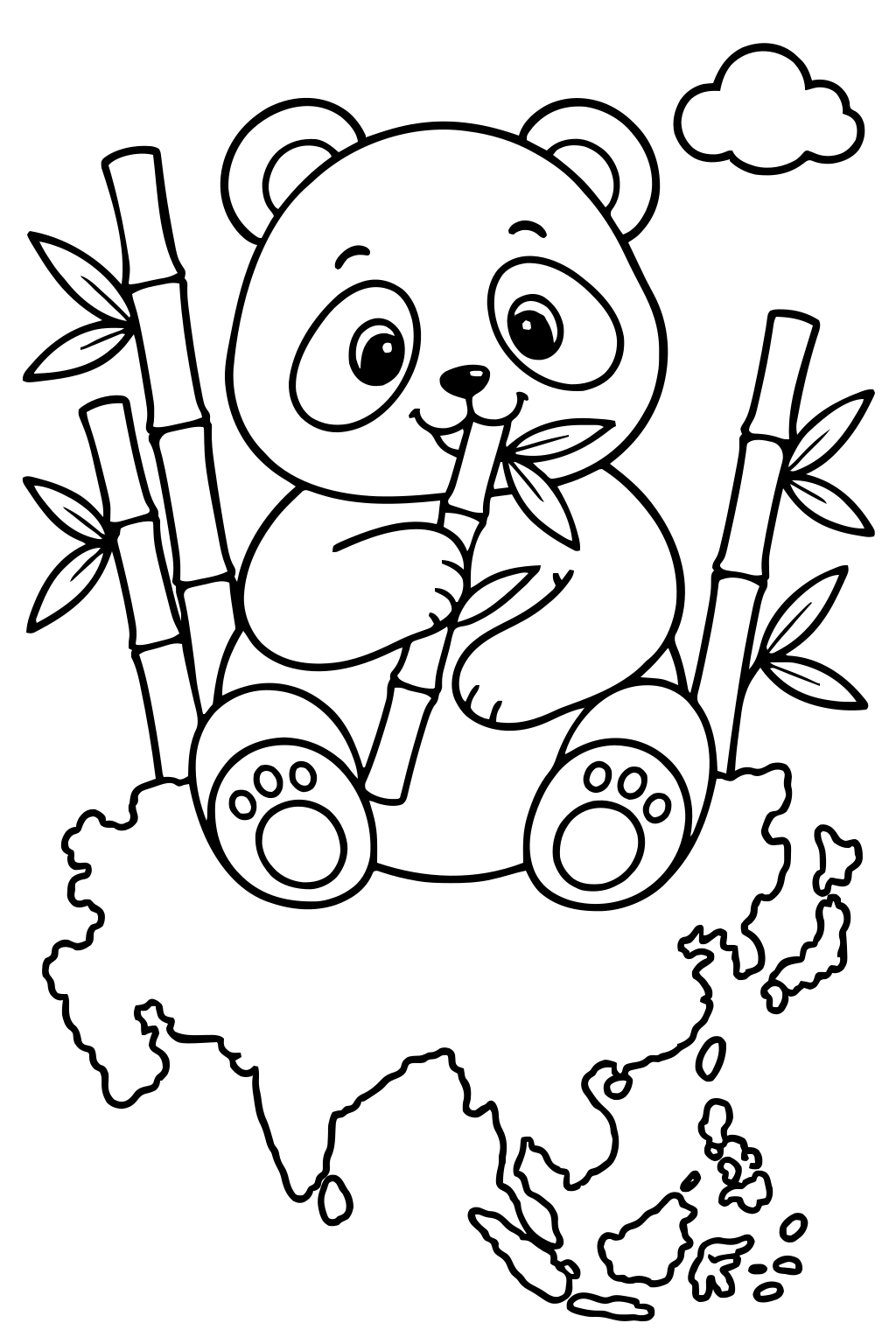
Related categories
A Variety of Maps for Every Explorer
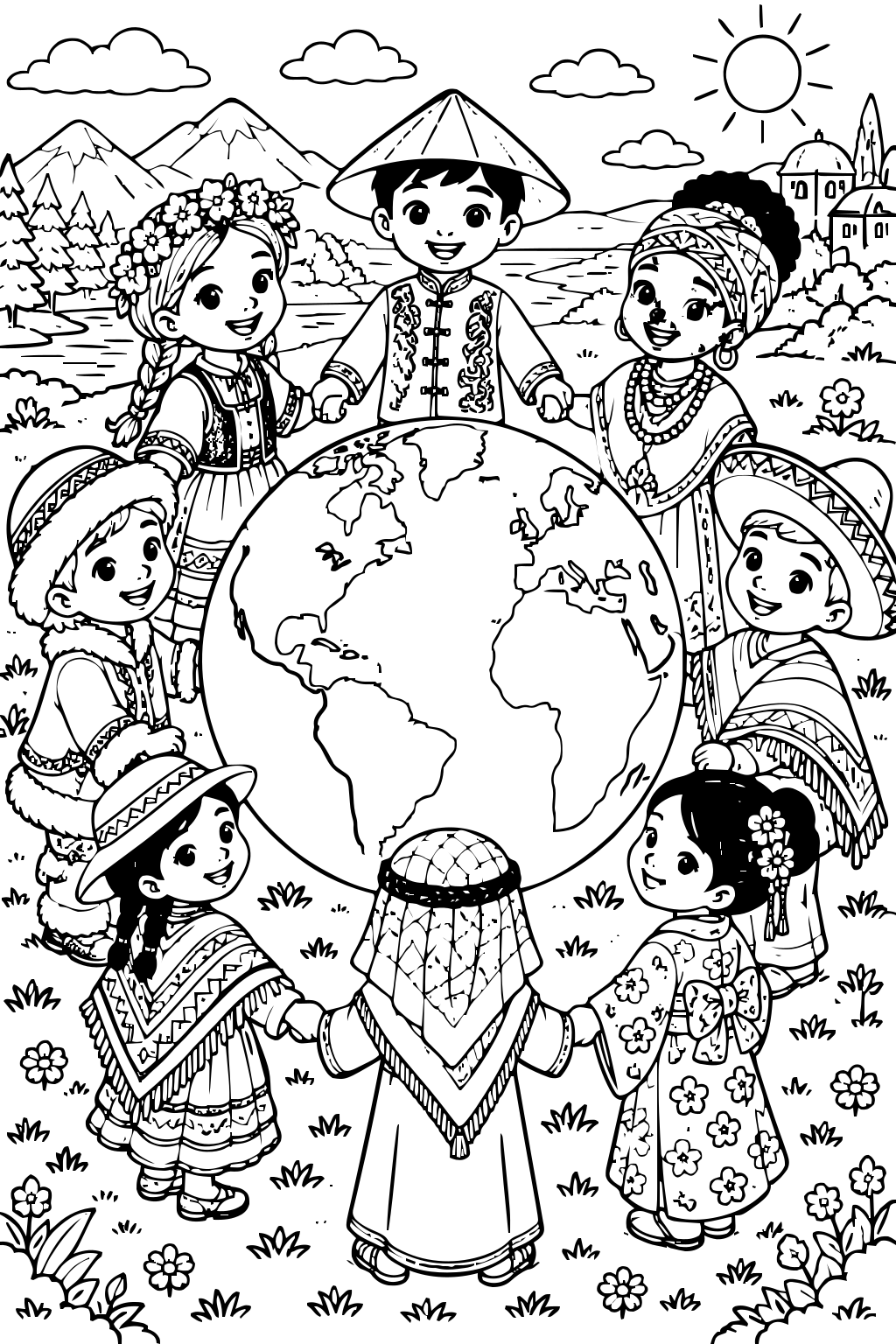
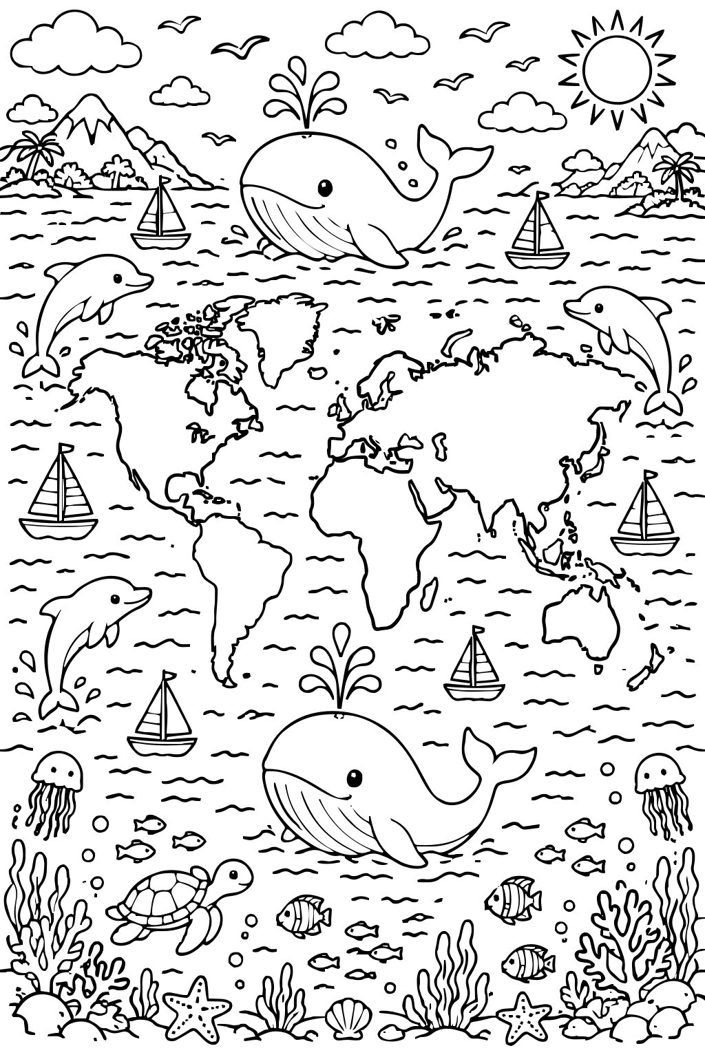
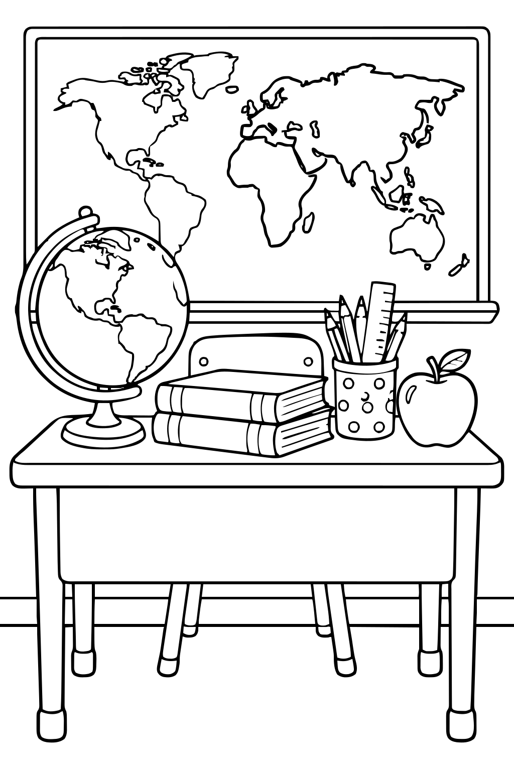
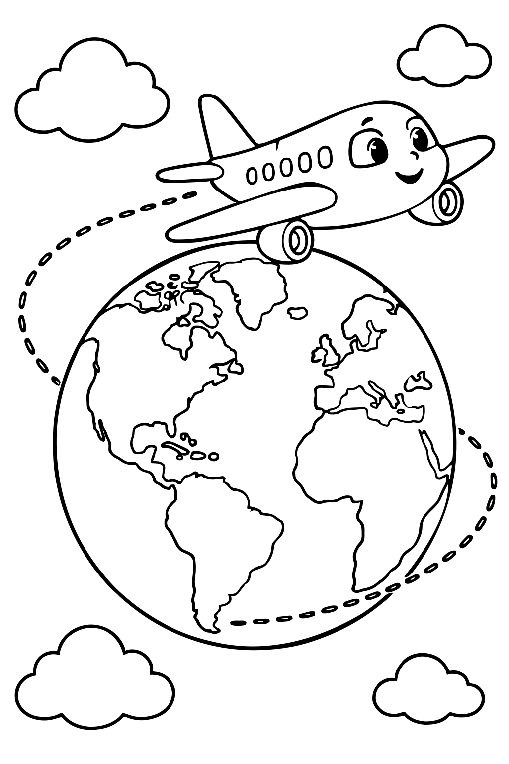
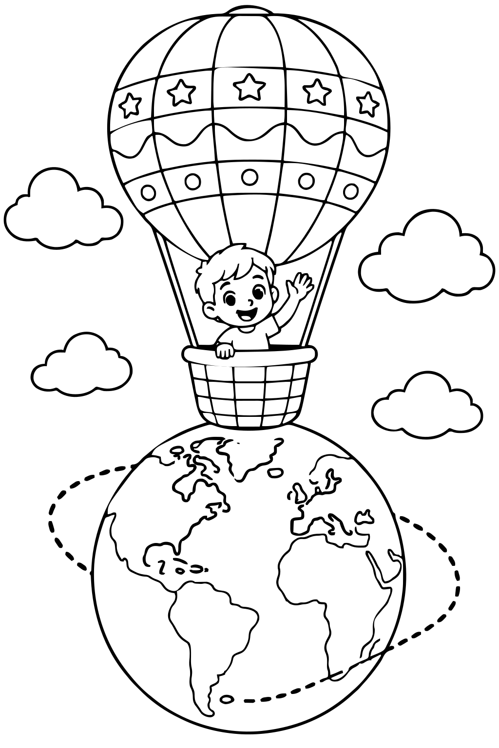
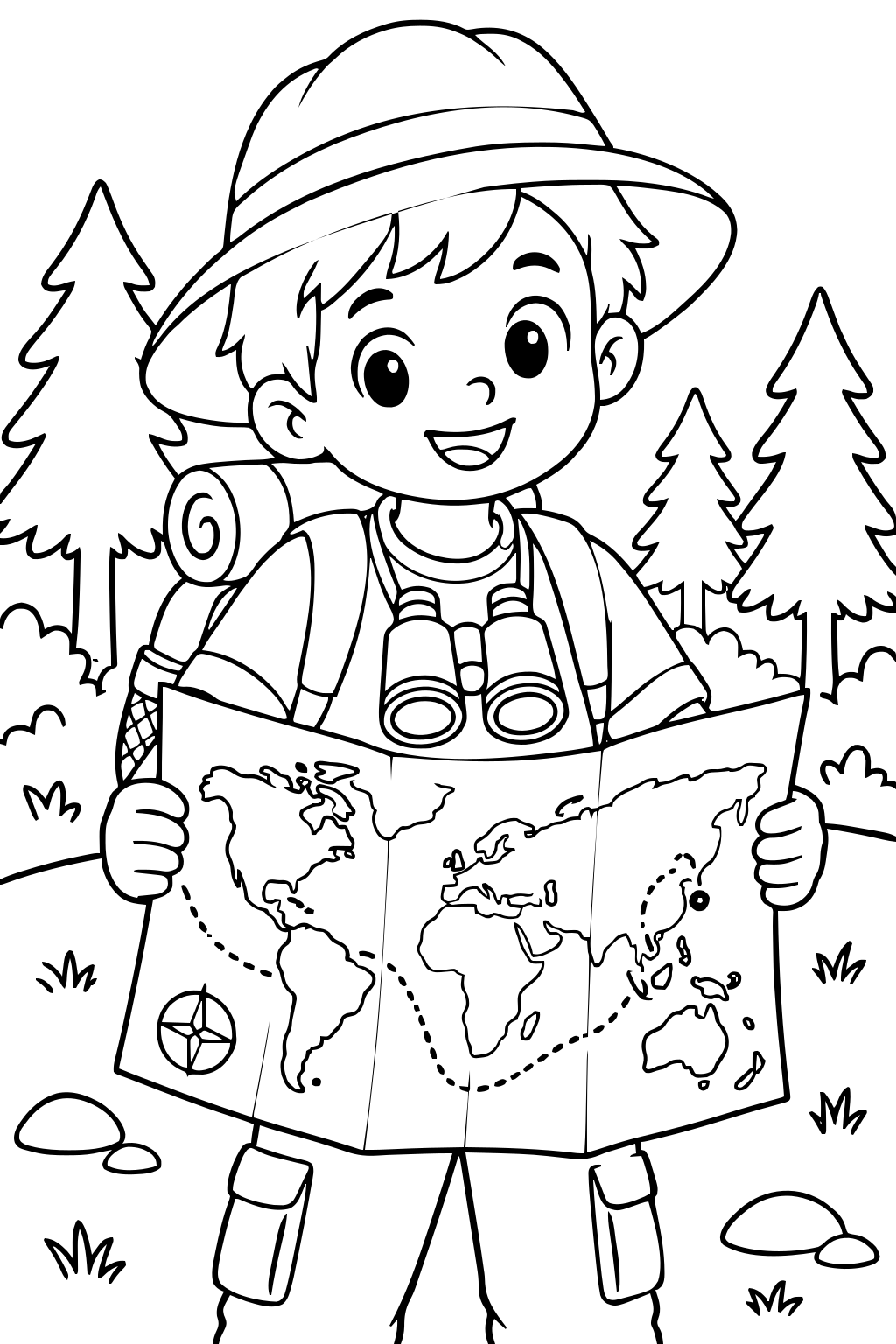
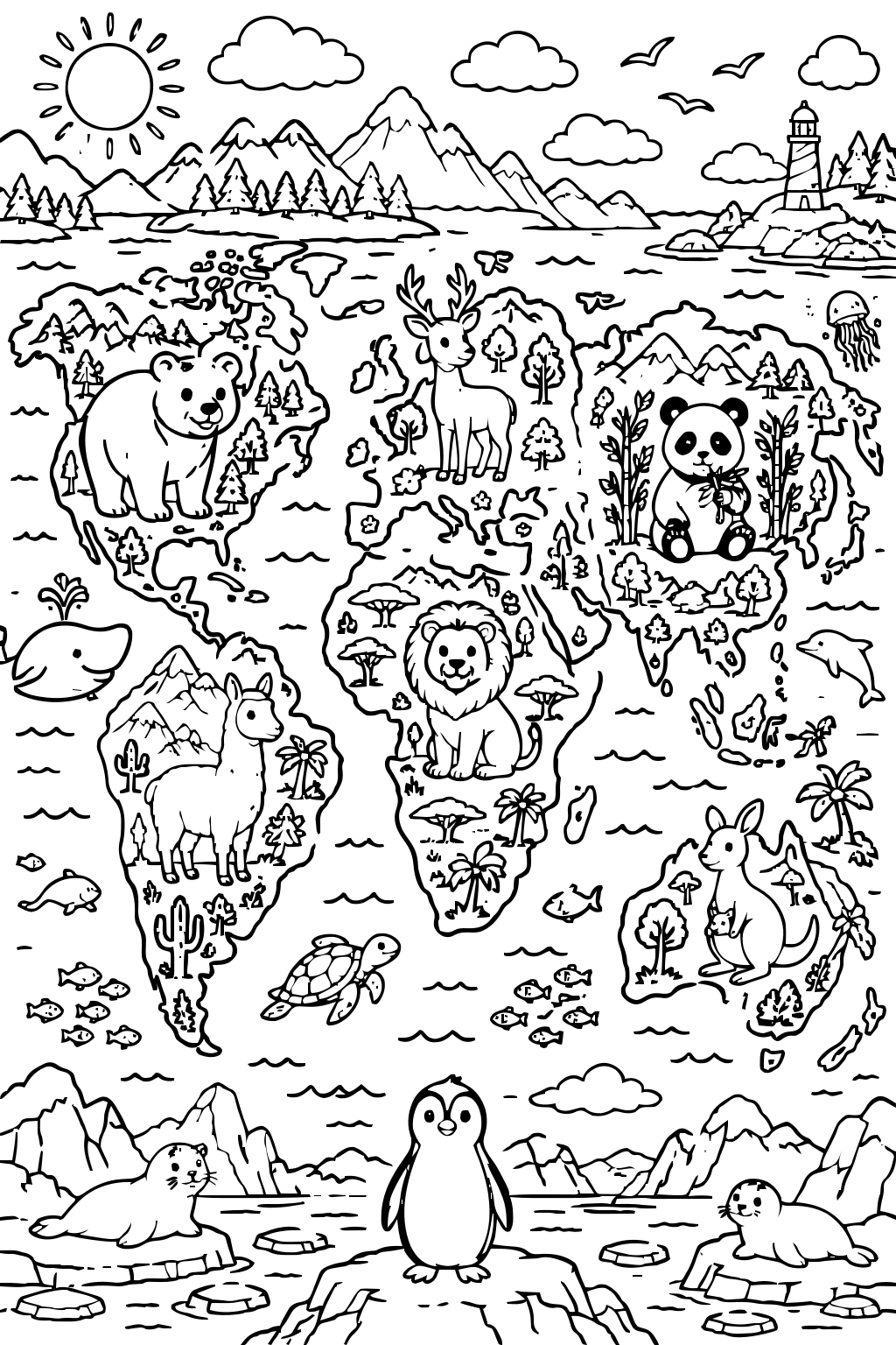
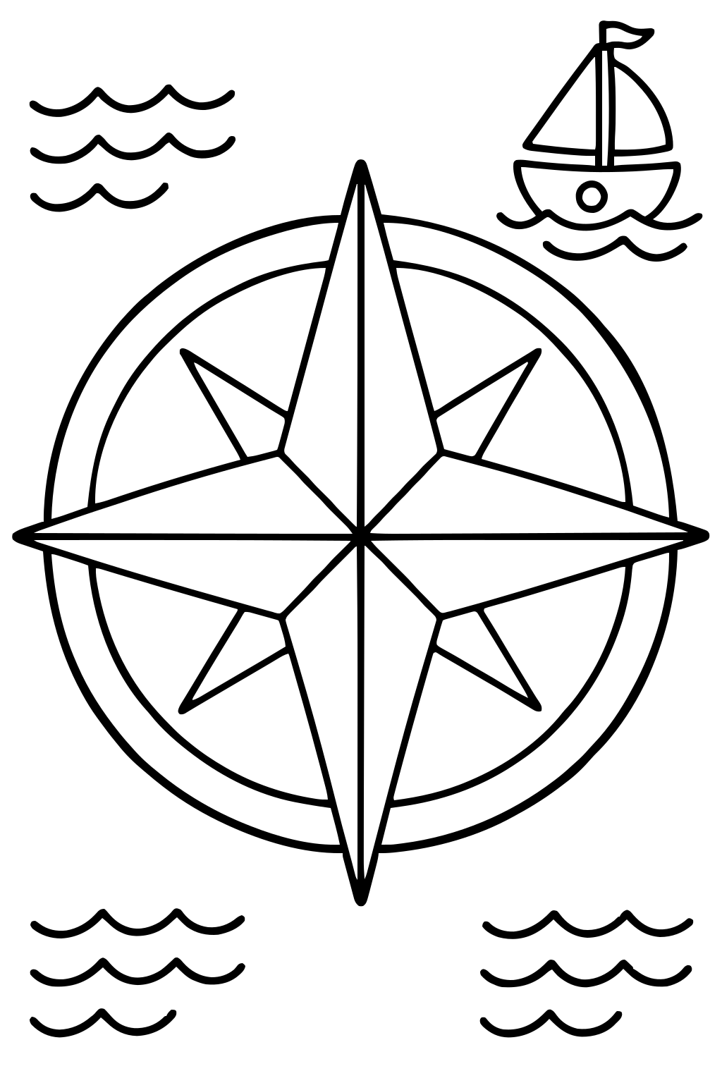
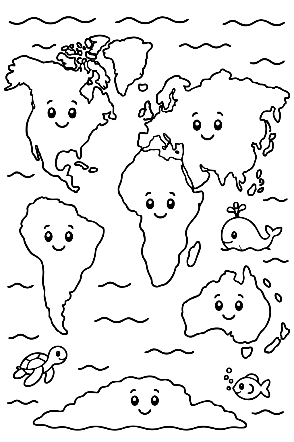
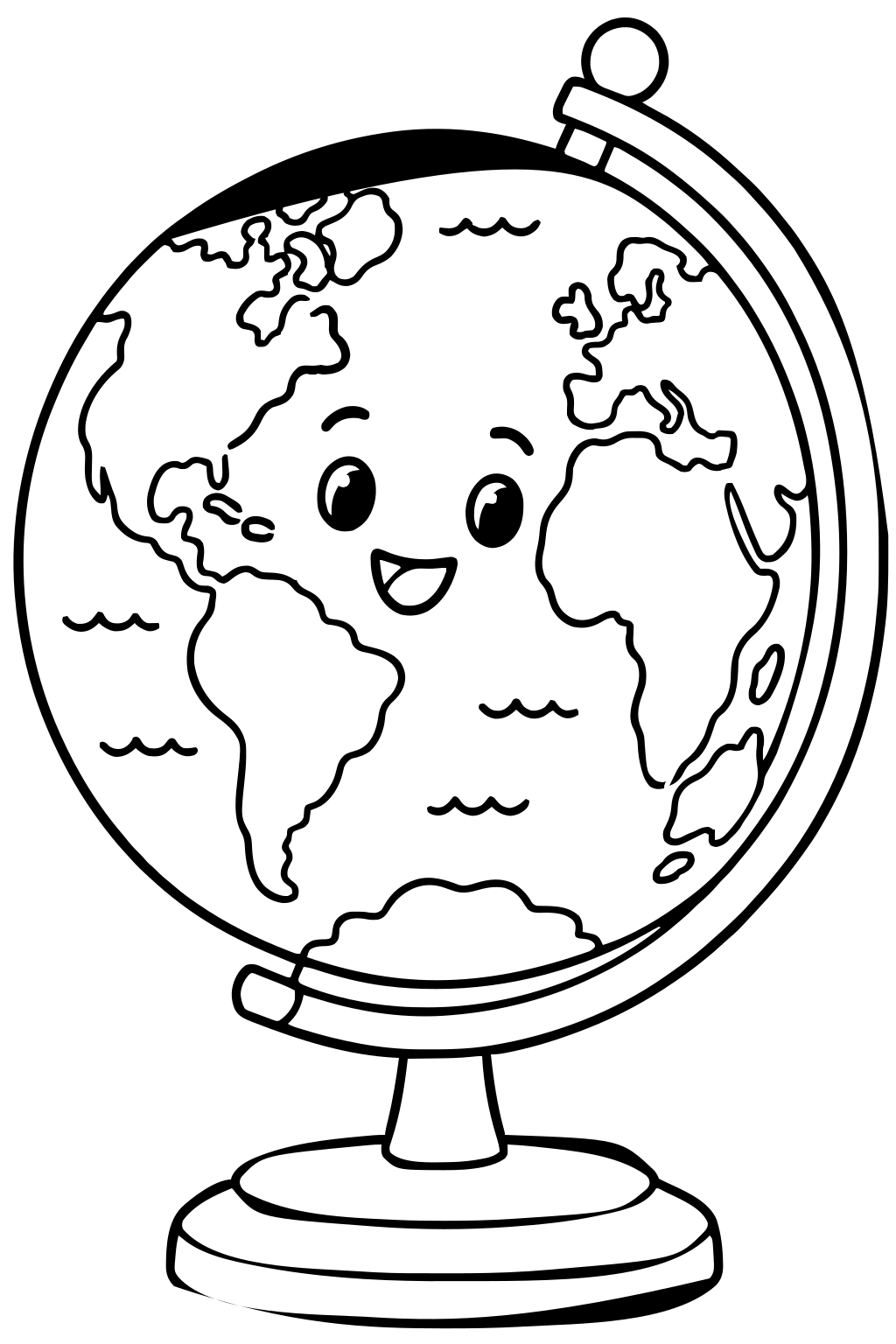
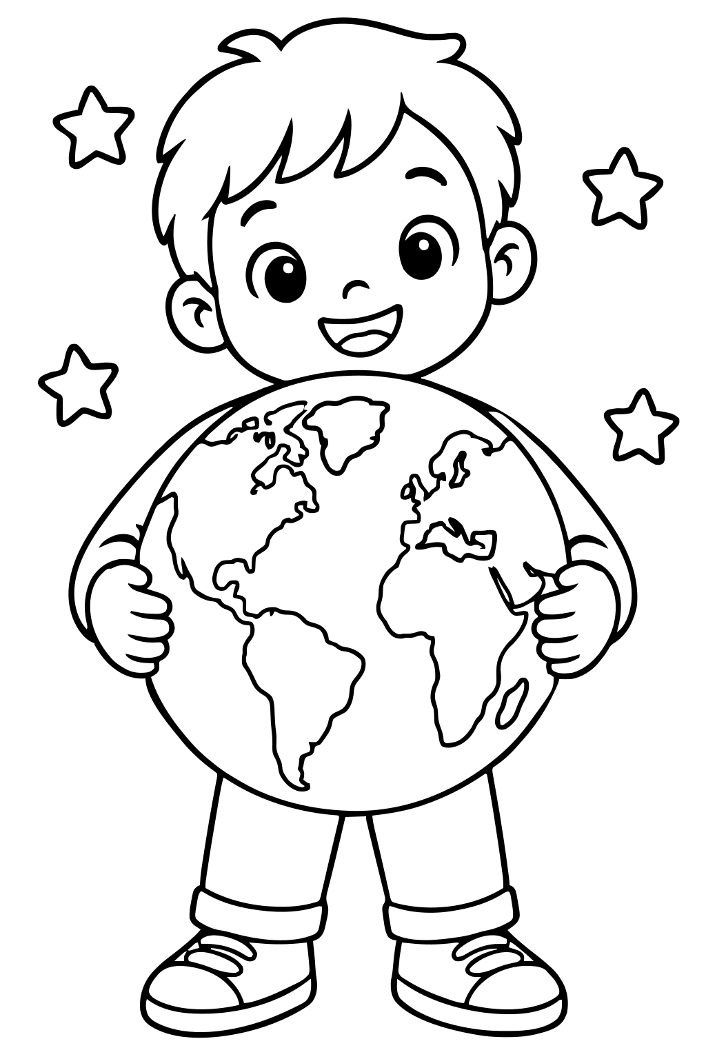
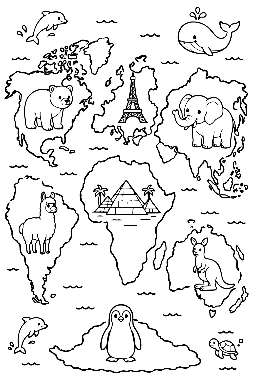
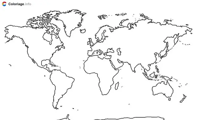
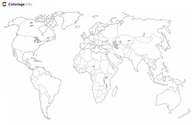
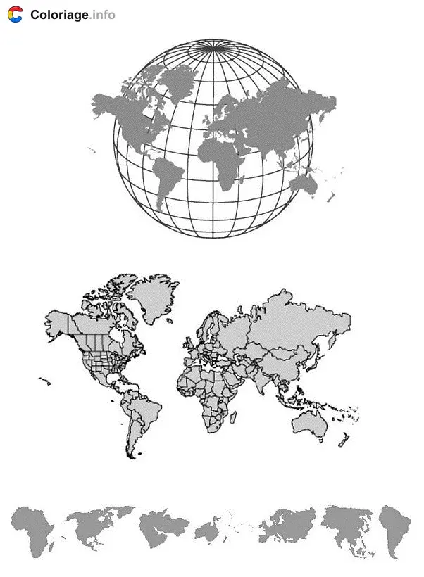
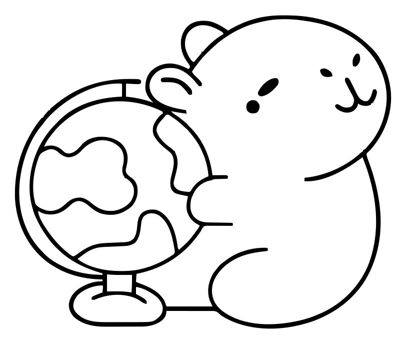
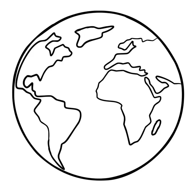
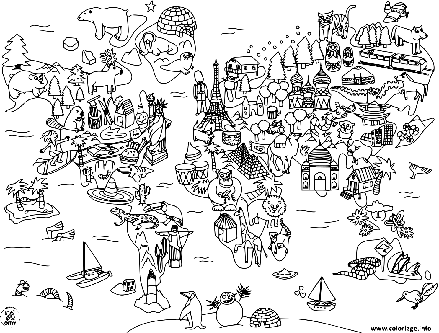
Our world map coloring pages come in many styles to match different interests and abilities. Some feature clean, simple outlines of the seven continents — perfect for younger children who want big, easy areas to color. Others add country borders, labeled oceans, or fun details like animals native to each region, tiny sailing ships, and famous monuments. You'll find flat maps as well as round globe designs. The crisp, high-quality lines print sharply every time, giving kids clear spaces to fill without ink bleeding into neighboring areas. It's the perfect blend of art and learning.
Printing Tips and Skill Levels
These pages work beautifully for a wide range of ages and skills. For preschoolers, choose the simpler continent maps and let them color freely with chunky crayons. Older kids can tackle detailed versions with country outlines using colored pencils for finer control. Print on standard letter or A4 paper for everyday use, or grab slightly heavier paper if you plan to use markers. Try turning it into a lesson: color each continent a different shade, then label the oceans together. You can print multiple copies so siblings each get their own map to complete.
Ready to travel the globe from your kitchen table? Grab your crayons and start coloring today. When your young geographer is done exploring, keep the learning going with our multiplication coloring pages for a fun mix of numbers and art. Free, printable and always ready to download — happy coloring!
Coloring ideas for world map
Try coloring oceans and seas in cool blues to make them stand out, then give each continent its own bright shade — green for forests, sandy tan for deserts, and white near the poles. Use pale blue for icy Antarctica and deeper blue-green for tropical waters. Add tiny details like green trees, red mountains or a golden sun. For labeled maps, keep country colors light so any text stays easy to read.
Frequently asked questions about world map coloring pages
What age are world map coloring pages best for?
These pages suit kids from about 3 to 12. Younger children (3-6) do great with simple continent outlines and big spaces to color. School-age kids (7-12) enjoy detailed maps with country borders and labeled oceans, which pair nicely with geography lessons. Just pick a design that matches your child's skill level and interest for the most fun.
How do I print these world map coloring pages?
Printing is simple. Click the page you like, open the PDF, and choose print from your browser or PDF viewer. Standard letter or A4 paper works perfectly. Set your printer to 'fit to page' so the whole map fits nicely. For markers, use slightly thicker paper to prevent bleed-through. You can print as many copies as you want at no cost.
Are the pages available as PDF files?
Yes! Every world map coloring page is available as a free PDF. PDFs keep the crisp lines and correct proportions no matter what device you use, and they print cleanly every time. Just download the file to your computer, tablet or phone, then print whenever you're ready. You can also save them to reuse later for classroom activities or rainy-day fun.
Can these maps help my child learn geography?
Absolutely. Coloring a world map helps kids remember where continents and oceans are located while building fine motor skills. Try assigning each continent its own color, then naming them together, or label the oceans as you go. Detailed maps with countries make a great starting point for learning capitals, flags and cultures. It's learning that feels like play.