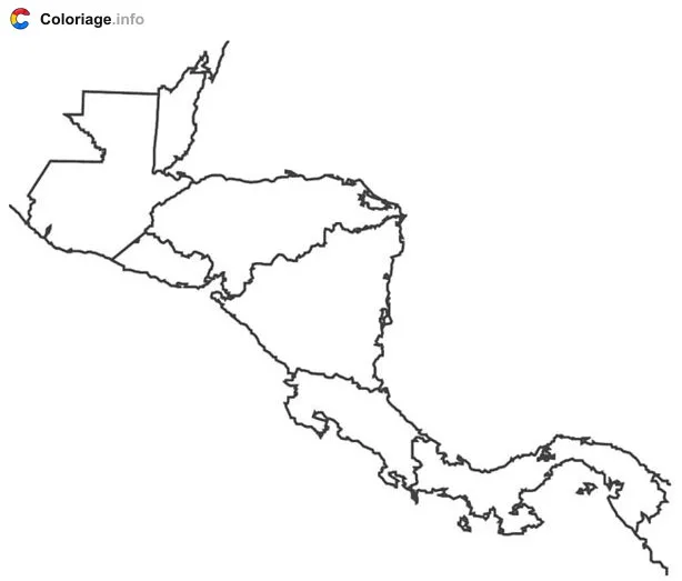
Central America coloring page to print
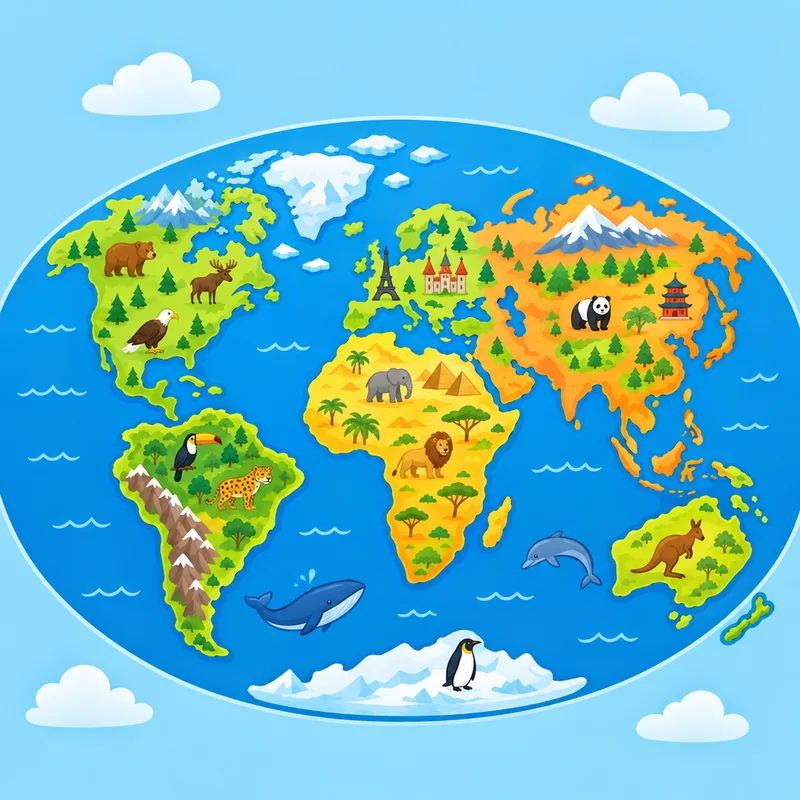
This engaging coloring page features a map of Central America, perfect for young explorers learning about world geography! The illustration showcases the seven countries of this vibrant region, with clear outlines and distinct areas ready for creative coloring. Kids can discover the countries that connect North and South America while adding their own colorful touch to each nation. This free printable PDF is ideal for geography lessons, homeschooling activities, or simply satisfying curious minds about the world around them. As children color, they'll naturally learn the names and shapes of these important Central American nations, making geography fun and interactive. A wonderful resource for parents seeking educational activities that combine learning with artistic creativity!
More Countries coloring pages