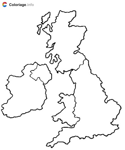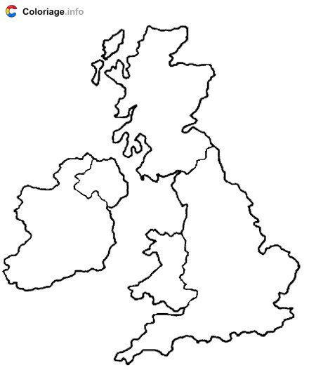
Map of the United Kingdom coloring page to print
This engaging coloring page features a detailed map of the United Kingdom, perfect for teaching kids about geography in a fun, interactive way. The page outlines the countries that make up the UK—England, Scotland, Wales, and Northern Ireland—with clear borders that are ideal for young colorists to fill in with their favorite hues. Kids can learn about different regions while exploring their creativity with markers, colored pencils, or crayons. This free printable PDF is wonderful for homeschoolers, geography lessons, or rainy-day activities. It's an excellent way to spark curiosity about the world and help children develop fine motor skills. Whether your child is just discovering maps or already loves geography, this coloring page offers hours of educational fun!
More England coloring pages